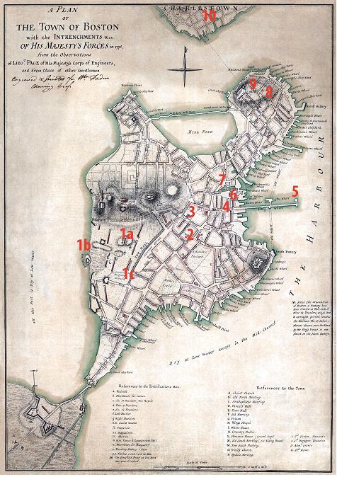
This map from 1775
shows the topography of Boston at the time of royal rule.
Note the narrow neck connecting Boston to the mainland that made travel in and out of the city
easy to control and observe. Thus, the
“secret” raid to Concord involved transporting soldiers “by sea” across the river,
rather than “by land” across the neck.
The relief force led by Lord Percy did cross over the neck. During the siege of Boston, General Gage ordered a channel dug at the neck so that, at
high tide, Boston was literally an island.
The landscape of Boston was markedly altered in the 1800’s by leveling the hills
and filling in the surrounding shallow tidal flats. The Public Garden (at the base of the Common), Back Bay, the area around Long Wharf, as well as other surrounding areas, were all under water
in 1775.
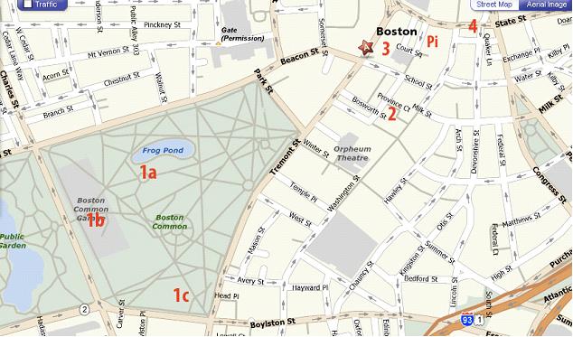
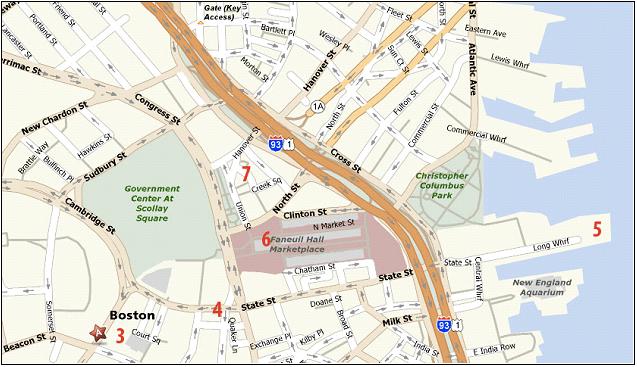
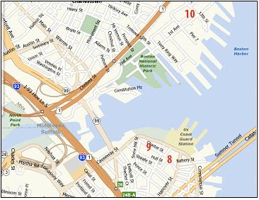
Site 1 – Boston
Common; Site 2 – Province House steps; Site 3 - King’s Chapel; Site 4 – State
House; Site 5 – Long Wharf; Site 6 – Faneuil Hall; Site 7 - Capen House; Site 8
– Christ Church; Site 9 – Copp’s Hill Battery; Site 10 – Moulton’s Point.
|
|